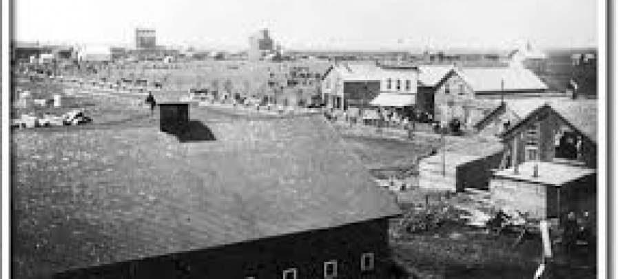
Morris
Morris is known historically as the Scratching River District.
Maps
.JPG)
Atlas of the Original Mennonite Settlements of the West Reserve in Manitoba
An atlas of the many Mennonite communities of the West Reserve in Southern Manitoba.
PMA_2023_071848
Fond: Pembina Manitou Archive
Morris MB - Homestead & Parish Lot Survey Map - Tim Lewis (1880)
This map shows the original homestead registrations in the district surrounding Morris MB. Original research was by Tim Lewis using the resources of the Manitoba Legislative Library.
PMA_2021_050039
.JPG)
Southern Manitoba and the Turtle Mountain Country by Rev L. O. Armstrong
Rev. L. O. Armstrong's diary of his journey from Emerson to the Turtle Mountains.
PMA_2025_079973
Fond: Pembina Manitou Archive