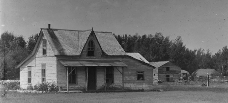
Hamilton
Hamilton stood at the top of the Moissouri Trail as it rose from the Pembina Valley.
Maps
.JPG)
Homesteader List - 2-9W (1880)
A listing by quarter section of the homesteaders of 2-9W in Southern Manitoba.
PMA_2018_045627
Fond: Pembina Manitou Archive
McKenzie Cemetery - Map & Listing of Burials (1880)
The McKenzie Cemetery was deconstructed to clear the land for fieldwork, the stones bulldozed. Later some stones were reclaimed and set along the headland near the cemetery site.
PMA_2018_045629
Fond: Pembina Manitou Archive
Pembina Municipality - School Districts, Churches, and Halls (1880)
A map of the municipality indicating the sites of settlement period communities.
PMA_2020_047060
Fond: Pembina Manitou Archive
.jpg)
Physical & Cultural Geography of the McKenzie District MB (1880)
Dennis Windsor's Physical & Cultural History of the McKenzie District and 2-9W in Southern Manitoba.
PMA_2018_045631
Fond: Pembina Manitou Archive
.JPG)
Southern Manitoba and the Turtle Mountain Country by Rev L. O. Armstrong
Rev. L. O. Armstrong's diary of his journey from Emerson to the Turtle Mountains.
PMA_2025_079973
Fond: Pembina Manitou Archive